The Indigenous History of Wells Gray Park

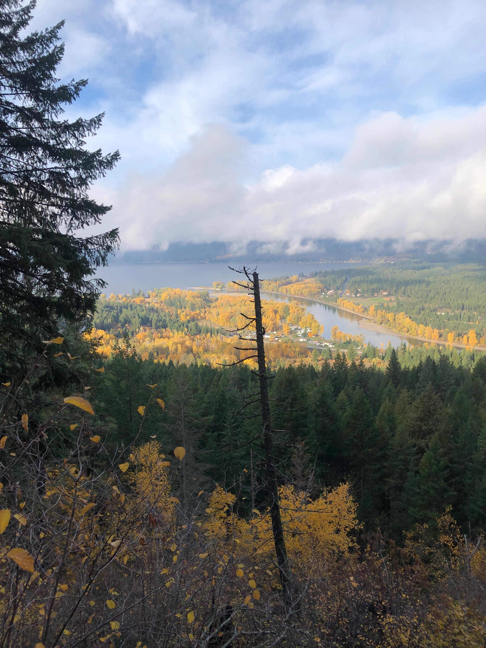
Known for an abundance of waterfalls, extinct volcanoes, and wide a variety of microclimates and vegetation, Wells Gray Provincial Park measures 540,000 ha (1.9 m acres).  It is most frequently accessed from my hometown Clearwater, just south of the main entrance.  The Park extends from Mahood lake in the southeast, to Murtle Lake near Blue river in the west, all the way north to Mt Hogg and Mt Goodall, northeast of Quesnel lake.  It is an enormous and ecologically diverse park, with most modern visitors not venturing further north than Azure or Hobson Lakes.

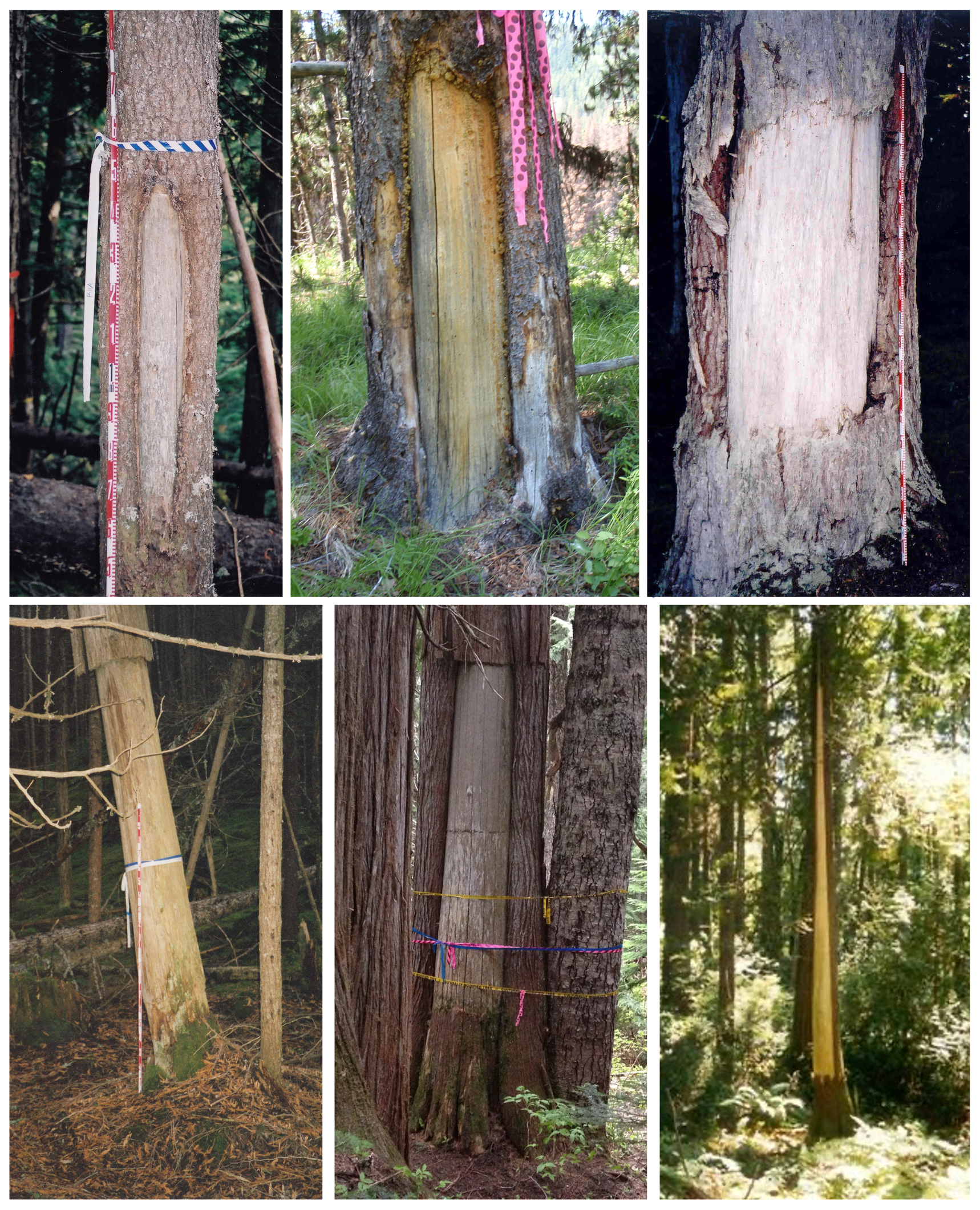
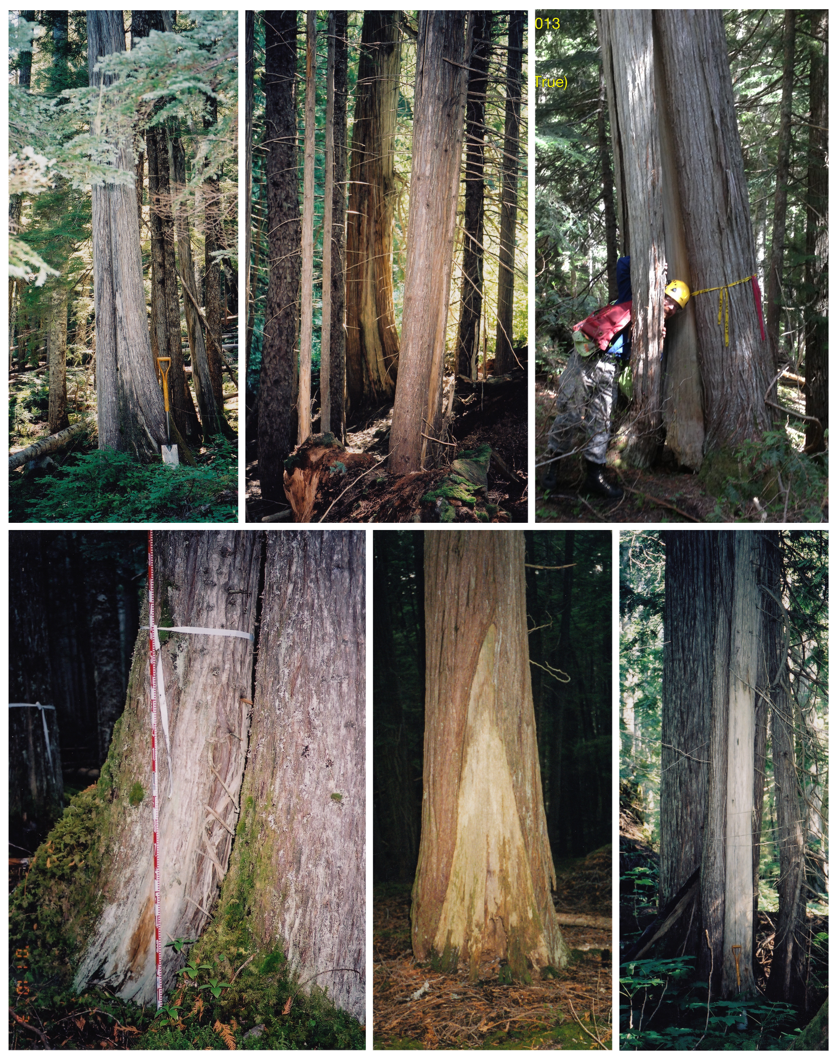
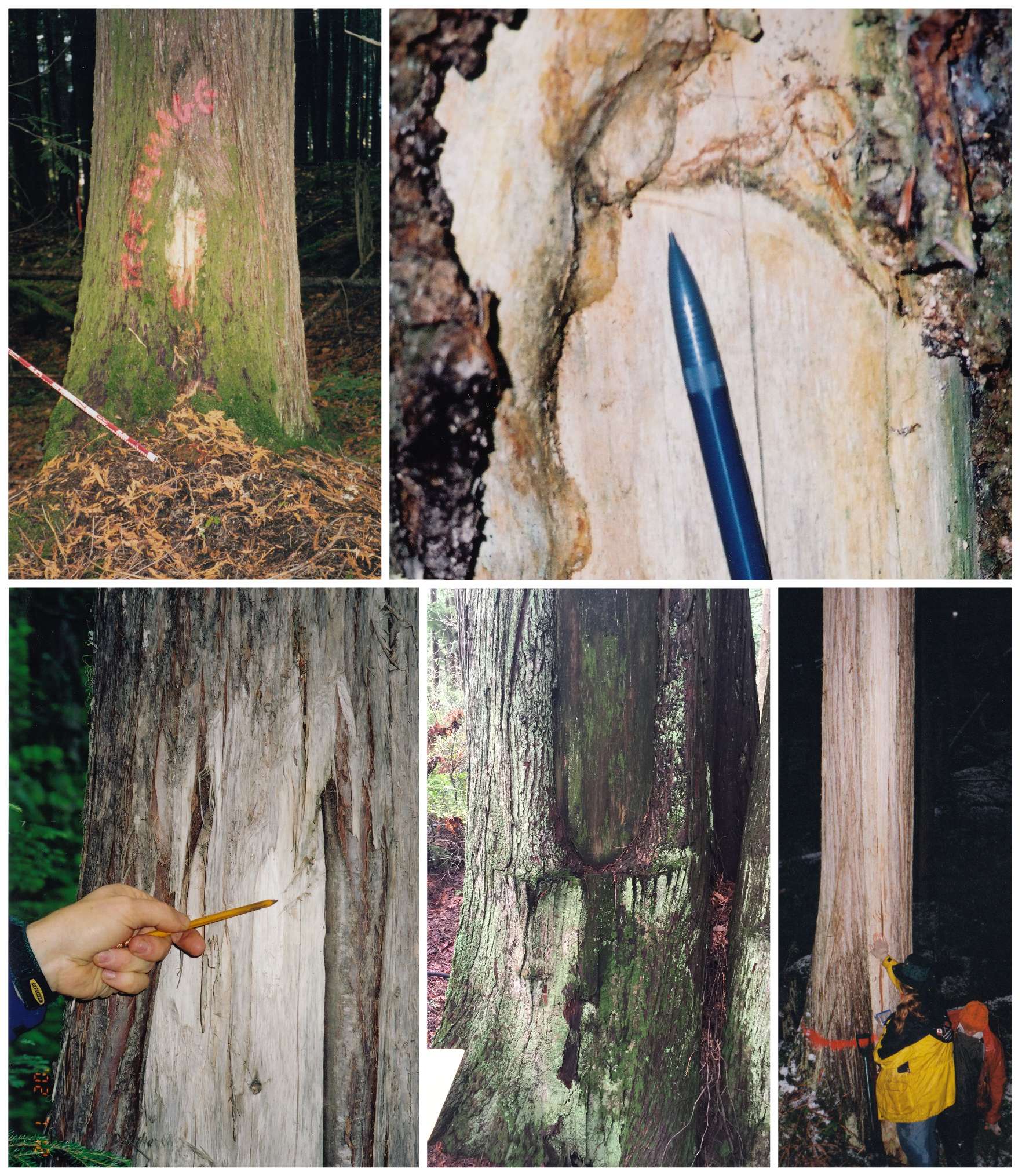
While the natural beauty of the Park’s lakes, rivers, and volcanoes is often emphasized, local indigenous peoples have deep ties to the area.  There are currently approximately 50 recorded archaeological sites within the Park’s boundary, a relatively small amount given its vast size.  Although few in number there is great diversity in the site types recorded.  Cultural depressions (habitation, cooking, and storage features), trails, lithic scatters of stone tools, mounds for temporary shelters, and rock art are all represented here. 

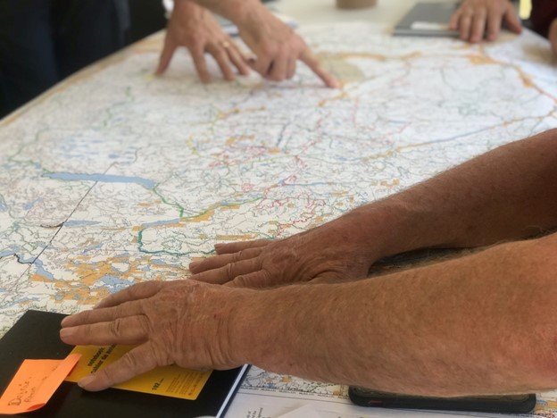
It’s important to recognize the relative paucity of recorded sites results from a lack of archaeological studies, not a lack of indigenous land use.  The majority of the studies conducted in the Park were done in late the 1960s, 70s, and into 80s.  These early surveys focused on broad areas adjacent to water sources, with the goal of recording the large, obvious sites.  There was little to no subsurface testing completed, so early archaeologists recorded only what was visible on surface. In this way they were often severely limited by ground cover and the natural movement of sediments from water, gravity and erosion that often bury sites.  Approximately 20 of the 50 of archaeological sites recorded in Wells Gray are located around Mahood Lake. This was a direct outcome of the easy access to Mahood Lake combined with various lakeside developments that triggered archaeological studies. We can fully expect that if more intensive archaeological studies were completed, many more sites would be found.

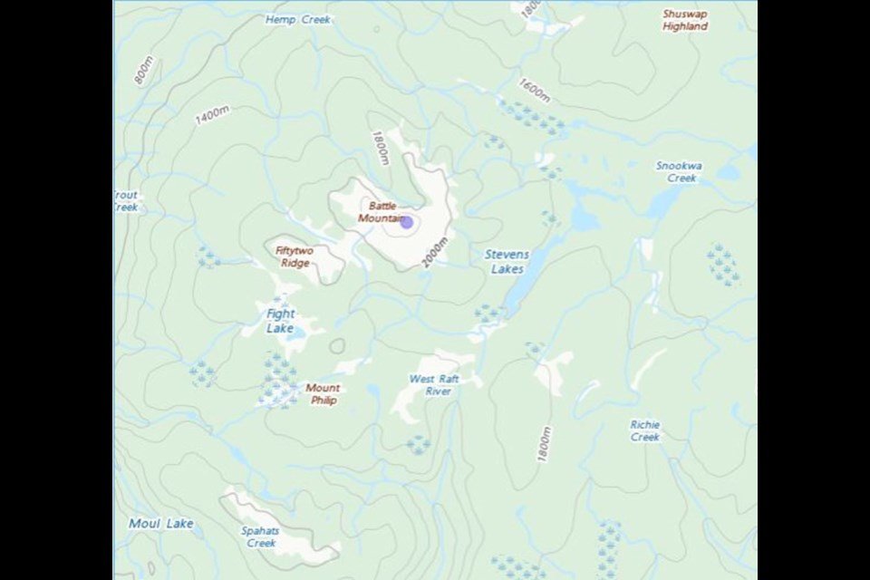
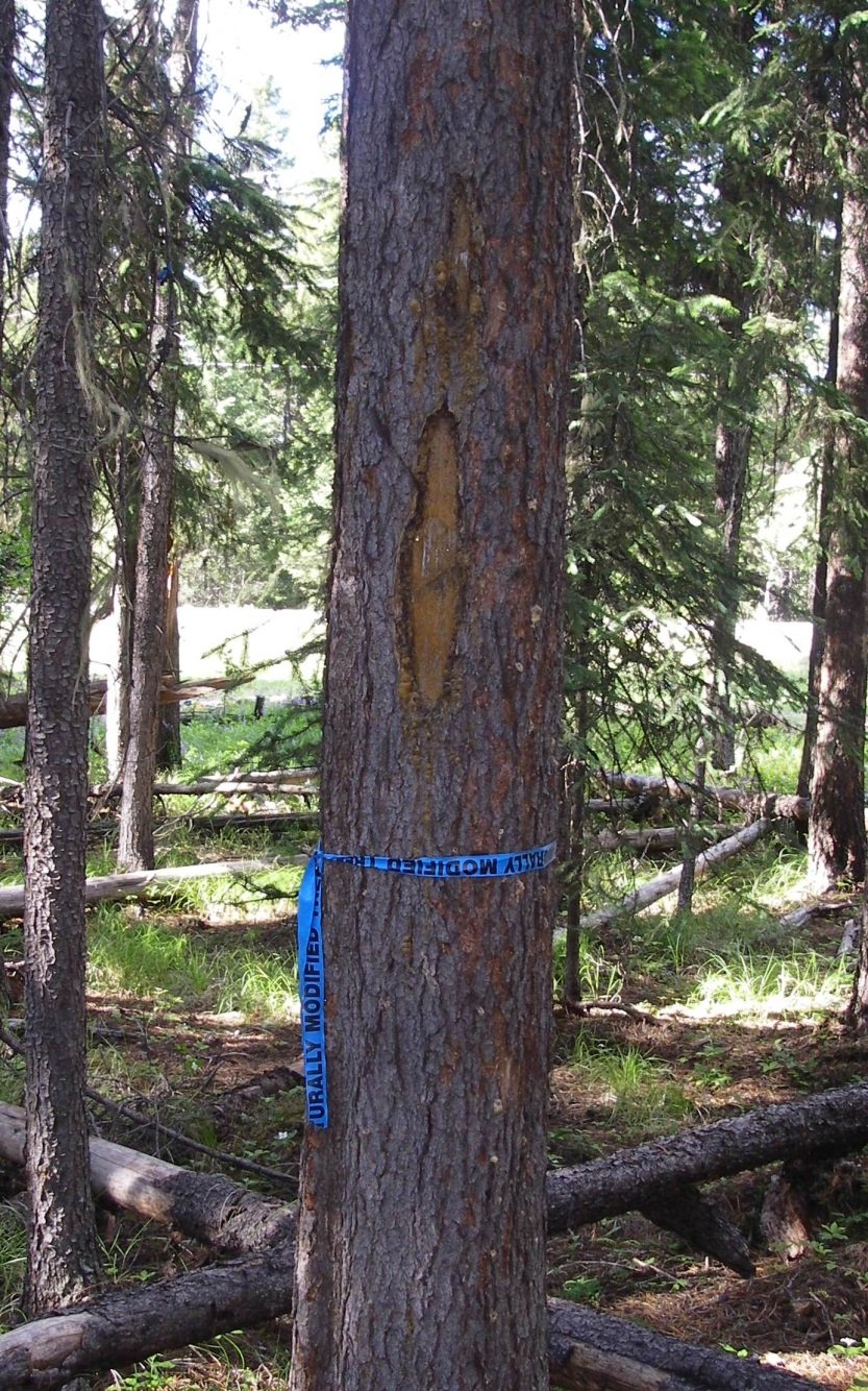
One of the largest sites recorded in the Park is ElQw-2, registered as a ‘Food Harvesting Fence’.  Originally recorded by an archaeologist in 1971, and revisited in 1987, this site is comprised of a caribou fence used to drive herds into the lake for ease of hunting.  This fence is located in an area known as ‘Indian Meadows’ and is just a few kilometers away from Battle Mountain.  The naming of Battle Mountain and Indian Meadows, as well as nearby Battle Creek and Fight Lake, is a tapestry deeply woven in indigenous history.  The caribou fence at ElQw-2 is a key remaining piece of history as it represents the instigation of the well-known battle for which these places are named.

Throughout the 1800s, caribou herds migrated through what is now Wells Gray Park from the Chilcotin region in the east.  The Tsilhqot’in nation are reported to have had control of much of the migration route at that time, although the Secwepemc peoples frequently hunted in the Battle Mountain and Indian Valley areas.  Around 1875 the Tsilhqot’in had built long fences along a small lake in that vicinity and were chasing the caribou into the water for slaughter.  The battle was a result of an observed trespass coupled with declining numbers of caribou.  The records are unclear if there was a winner.

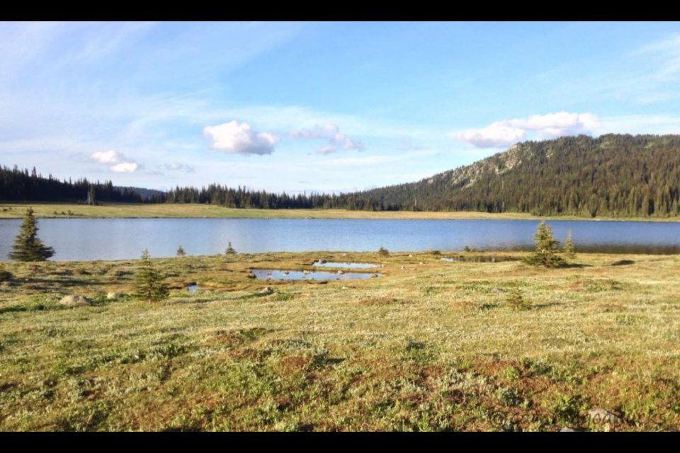
The records are also unclear if the harvesting fence recorded in 1971 at ElQw-2 is the same fence built by the Tsilhqot’in that spurred the infamous battle but it’s certainly possible, perhaps even likely.  The fence was reportedly made from stone and wire so this important piece of indigenous history should be preservable well into the future, along with it’s connected place names.

Interpreting the past and the archaeology of children

Archaeology as a discipline is a social science – it is focussed on the study of past human groups through the analysis of the material remains people have left behind. It is important to remember that each uncovered archaeological site provides a direct and tangible human connection to the past. Even if the archaeological site is comprised of one single stone tool, that item was shaped, used (perhaps many times over), and then ultimately discarded or lost by a person living thousands of years ago.

It isn’t uncommon in archaeological reports and literature for the authors to focus almost exclusively on the material remains people left behind with a quantitative lens. Items uncovered in archaeological sites are described, measured, and compared. During this process, the items themselves inadvertently become the focal point of the interpretation of the past while the people that manufactured and used those items become a secondary consideration.

It is important for archaeologists working within archaeological sites and documenting the past to keep interpretations focussed on the people. One challenging, but growing, aspect of archaeological research is the discussion of children in archaeological sites. We know, of course, that children were present at most archaeological sites in BC as Indigenous populations have been inhabiting this region for well over 10,000 years and children are necessary for population growth and longevity. But detecting and documenting the presence of children at archaeological sites is not an easy feat.

Present-day Indigenous knowledge keepers and ethnographic sources from the late 1800s and early 1900s can provide insights and details pertaining specifically to children to help provide a more robust interpretation of the past. For instance, in the southern interior a useful resource is the reports produced by James Teit, a Scottish ethnographer that lived in the Spences Bridge area for almost four decades, that document many details about Secwépemc and Nlaka’pamux groups. His detailed writing and drawings provide context about day-to-day life and overarching beliefs and cultural practices.    

James Teit’s anthologies provide details about the care of children, children’s activities, children’s games, and children’s participation in daily life. Many of the obvious items directly related to children do not survive in archaeological sites due their perishable nature, such as infant cradles or carriers made of birch bark or coiled basketry and buckskin. What can be learned from Indigenous knowledge keepers in communities and from ethnographic sources is the types of activities children were involved in. There are numerous examples of young children assisting with certain tasks, such as preparing food, picking berries, or fishing, and through these processes gaining important life skills.

Just like the present day, a lot of children’s games and early play revolved around building a required skillset through mimicking the behaviour of adults with child-size items. For instance, the use of miniature bow and arrow sets, baskets, and digging sticks so that children could play, and ultimately learn, invaluable techniques and strategies from their parents and relatives.

As archaeologists we know children were present at archaeological sites and it is important to acknowledge their presence, think about the transfer of knowledge between generations, and ensure the smallest members of the group aren’t forgotten in the interpretation of the past.

Heritage is always at risk when war erupts

Fifty kilometres north of Kyiv, Ukraine, the Ivankiv Local History Museum was set ablaze by Russian invaders last week, destroying irreplaceable works of iconic folk art. In Kyiv itself, missiles strikes landed at Babyn Yar, a memorial site to one of the largest Nazi massacres of World War II. 500 kilometres to the south, along the Black Sea coast, archaeological sites dating back to the neolithic are exposed to shelling. And all across the country, conservators and volunteers are scrambling to secure Ukrainian heritage from the intentional and collateral damages of war.


Heritage, woven as it is into landscapes and built environments, is always at risk during wartime. Often, damages are incidental, the unavoidable result of proximity to projectiles and explosions. Sometimes, destruction is deliberate, where sites and objects of cultural significance are targeted by munitions, or stolen, or both. Either way, losses of cultural heritage are part of the cascading humanitarian crises triggered by wartime violence.


Ukrainian heritage has, of course, seen conflict before. From stone age sites to medieval architectural wonders, Ukrainian history is a diverse and spectacular mosaic of cultural development laid down over millennia. More than 200 national historic landmarks have been named in the country, along with seven World Heritage Sites designated as having “outstanding value to humanity”.


At its core, much of this heritage reflects a mixing of peoples and cultures, and the lively, dynamic, and fruitful cultural creativity that developed at this geographic crossroads between Europe and Asia. Neolithic and Bronze Age sites here are some of the largest and most complex anywhere, and very possibly represent the first truly urban areas in the world. Greek and Roman sites attest to the role and significance of the area in the ancient empire-building networks. Religious artifacts and structures represent the importance of Ukrainian influence in the histories of eastern Orthodox and Catholic churches.


Much of this, while the proud patrimony of modern Ukrainians, is also coveted by Russian authorities looking to claim this heritage as part of a unified, glorified, Russian heritage. And this too, has become part of contemporary Ukrainian heritage: the targeting of domestic culture for repackaging into Russian nationalist propaganda.


The historic Russian tsardom (which colonized Ukraine in the late 17th century), then the Soviet Union, and most recently the Putin regime, have worked hard to promote a myth of a unified Russian history that includes Ukraine. Imperial, then Soviet, and now Russian authorities have plundered Ukrainian heritage—churches, libraries, museums, and archaeological sites—and funnelled the booty to Moscow, where they are used to help re-write of the arc of history to justify current political aspirations.


Historically, Soviet regimes have targeted heritage they believed to most closely associated with Ukrainian nationalism, and therefore a threat to Russian unity. Scythian treasure, baroque Cossack artifacts, or Orthodox church paraphernalia, for example, have all been targeted for confiscation, in an attempt to claim Ukrainian history. Since Russia’s 2014 invasion of Crimea—a mindbogglingly heritage-rich peninsula that houses thousands of historic sites—Russian authorities have conducted large-scale archaeological excavations, illegally exporting huge volumes of cultural heritage to Moscow to be kept as state property.


Given Vladimir Putin’s frenzied dedication to the idea of a unified Russian state, and Russia’s abiding commitment to nationalist propaganda, further destruction and depletion of Ukrainian heritage is expected. And while heritage is, of course, second in importance to life and limb, its loss can be a tremendous blow.


As sites of collective memory, heritage places are foundational to cultural identity, to reconciliation, to healing, and to education, all of which will be critical in the aftermath of the Russian invasion of the Ukraine. Protecting heritage in war is a commitment to future generations that culture is to be cherished and preserved, and it signals the importance and value of cultural continuity. Those who are now risking their lives to sandbag monuments, relocate artifacts, and hide artwork are doing so in service to future Ukrainians, and with hope that this heritage will be part of a renewal.

The archaeology of earth ovens

Last summer, before the Sparks Lake wildfire, we were shovel testing a forestry block east of the Deadman River, approximately eight kilometers northwest of Kamloops Lake. We excavated part of a feature that was likely used as an earth oven, also referred to as a pit oven or roasting pit. Earth ovens are one of the oldest food preparation technologies used globally. Evidence of earth ovens has been found in Southern France, Japan, Australia, and Papua New Guinea, from sites as old as 30,000 years. Ancient pit-cooking features have also been found in Polynesia, Mexico, and throughout many parts of North America. In western North America and in the Kamloops area specifically, archaeological evidence respectively dates back to at least 12,000 and 7,000 years ago.  


In the archaeological record, earth ovens are one type of cultural depression in which abundant fire-altered rocks and charcoal are present. Sometimes charred plant and animal remains are also recovered. Although there were variations in ancient pit-cooking technologies, they all have commonalities in their manufacture and use. The process generally consisted of: 1) digging or re-digging a pit ranging in size from one meter to larger than seven meters, 2) collecting fuel, rocks and vegetation, 3) harvesting and preparing the foods, 4) and cooking, which would take a few hours up to several days. Usually, the earth ovens were capped with earth, and sometimes a fire was built on top. Other variations include lining the pit with flat rocks, and/or adding water through a hole to create steam.   


In the Kamloops area, the primary use of earth ovens was for processing root vegetables, however other foods such as fish, game, and berries were also cooked or used as flavourings. Root vegetables (including bulbs, corms, tubers, rhizomes and true roots) were a big part of Secwépemc diet, comprising anywhere from 30 to 60 percent of people’s caloric intake. Some local examples of traditional root-digging areas include Lac du Bois, Scheidam Flats, Hat Creek and Botanie Valley.


Many edible bulbs and tubers contain a complex carbohydrate called inulin. Inulin is a prebiotic that supports the growth of healthy intestinal bacteria and reduces the risk of chronic diseases. However, inulin is difficult to digest and requires pit-cooking to break down the starch into fructose, a sweet-tasting digestible sugar. Important root vegetables that contain inulin in this area include tséts’elq (balsamroot), qwléwe (nodding onion), qéq̓me (chocolate lily or rice root), qweq̓wíle (desert parsley or biscuit-root), and scwicw (glacier lily).


In this region, earth ovens are often found in two contexts: either associated with village sites, or upland near root-digging grounds. Analysis of archaeobotanical remains from earth ovens in these two contexts has shown that village earth ovens were used to cook a greater variety of foods and used more often than those located in the uplands, where their main function was root processing. Interestingly, between 3,300 and 2,400 years ago, the use of earth ovens in the uplands increased, which shows how these archaeological features can reveal information about changing subsistence strategies. 


Charcoal analysis has shown that hot-burning trees were preferred for fuel, such as cottonwood, Douglas-fir, and pine. Remnants of matting recovered from earth ovens also shows that plants such as horsetails, raspberry and conifer branches, as well as grasses were used during the cooking process. This green vegetation created steam during the cooking process and helped protect the food, which is one reason root foods are difficult to find in the archaeobotanical record: well-cooked roots protected from charring were completely consumed. Also, when charred they tend to fragment into indistinguishable pieces.


Root vegetables are no longer a staple food of the Secwépemc diet, however many roots are still harvested and used medicinally. Roots also continue to be part of the spiritual world and are actors in stories that have been passed down for thousands of years. Sadly, root plants are not as plentiful as they were in the past due to several factors such as the discontinuation of Indigenous management strategies, overgrazing by cattle, and the spread of invasive species as a result of colonization. Several First Nations in B.C. continue to use pit-cooking, known in Secwepemctsin as tsq̓elstém, for special occasions and educational purposes. By researching ancient food processing techniques like pit-cooking, archaeologists attain a better understanding of past subsistence strategies and help support the cultural continuity of these practices. It is also important to support Indigenous management strategies to ensure these plants will continue to grow. 

Every layer is a story centuries old

Do you ever drive through the Southern Interior and admire the landscape of the valley, looking at the layers of stratigraphy in the steep drops cut into the hills along the rivers? Every layer on those hills tells a story, and can even help associate a depth in the ground with a place in time.

The latest major glacial period, the Fraser Glaciation, began before 25,000 Before Present (BP, with present being 1950), reached its maximum extent about 19,000 to 15,000 BP, and ended with rapid ice melting and evaporation around 14,500 BP. During this melting, the Cordilleran Ice Sheet covering British Columbia broke into several large masses which became stranded in lower areas of the interior. Movement of the melting glaciers left behind landforms such as drumlins, which indicate the direction of flow. The glaciers cut into river valleys, incising steep ravines and molding undulating landscapes, while depositing glacial till as it moved and melted. This glacial till is composed of unsorted rocks ranging from small pebbles to large boulders, and soils such as sand or clay. This sediment layer is important in the archaeological procedure.

We know the southern interior was under an ice sheet for millions of years, and evidence of human occupation dates back to at least 14,000 BP, following the end of last ice age. If archaeologists are digging test holes and encounter a layer of glacial till, they can typically deduce that cultural material will not be found below that depth. However, one instance that is not the case is when a landslide transports a wide range of materials, including glacial till, and covers a natural landscape. Another example is where ground disturbance occurs from machinery, displacing sediments and disturbing their natural layers. In these scenarios, an archaeologist takes into account the surrounding landscape and ground disturbance that has occurred. They can also dig a percentage of tests deeper into, or through, the glacial till to confirm a natural deposition rather than an accidental deposit.

When you look at exposed soil in areas such as the Kamloops Bike Ranch, you see different layers of stratigraphy. Some sediments travelled there by water, air, or gravity. Archaeologists let the soils tell them a story of how that landform came to be formed, and from this story, try to figure out a timeline of deposition of cultural material. In some instances, multiple layers of occupation over a range of depths will be found at a single location, which is possible due to sediment displacement from the forementioned processes (water, air, and gravity), which cover the older layers of occupation, making new habitable locations.

Another part of sediment layers that help relate a depth in the ground with a place in time is the presence of volcanic ash- for example, the Mazama eruption, which has been dated to approximately 7600 BP. Volcanic eruptions can provide a chronological framework for archaeologists because they can be dated to a specific time in history. One can assume if artifacts are found below a particular volcanic ash layer, which is a fine white powdery lens, they would have been deposited before that eruption.

Next time you drive from Kamloops to Monte Creek, look at the layers exposed on the hills, and see if you can find the glacial till or the volcanic ash- or just enjoy the view of thousands of years of history. Now that I know more about the temporal aspect of soils, I appreciate the natural landscape with a new perspective, and I hope you do too!

Ancient Trade Networks

In North America trade was a common practice between Indigenous groups long before the European fish and fur trade industry in the early 16th century. Trade reflects many aspects of culture, and understanding ancient trade and exchange is an important goal in archaeology. 


Market economies were not foreign to Indigenous peoples and they traded goods over large territories. This is reflected in the archaeological record. Excavations conducted at ancient sites in the Interior Plateau of BC often recover shell artifacts. Some of the shell artifacts include items made from dentalium or scallop pectin shells. Most dentalium entering the Indigenous trade network originated along the west coast of BC.


The Secwépemc, located in the Interior Plateau would access dentalium shells from coastal peoples through a complicated network that involved trading highly sought after dried salmon and salmon oil in exchange for dentalium shells. Dentalium shells were a form of currency for cross-cultural trade. In addition to their use as currency they also served as decorative wealth on ceremonial dress.


Shell and bone preserve well in ancient sites. Pendant artifacts consisting of dentalium tubular beads often illustrate unique designs carved on them. Pendants were also made from pectin shells with drilled perforations. The distribution and variety of materials found at the ancient sites within the Interior, which are not found locally, implies that the Secwépemc and their ancestors were optimally positioned geographically to participate in the extensive trade networks.


Photo: Dentalium Shell Beads


Evidence of nephrite or jade artifacts have also been recorded in the Interior. Nephrite is a very hard material and used for groundstone cutting tools. Celt artifacts made from nephrite were highly valued as property, but occasionally used as chisels and wedges intended for woodworking purposes. The sources for Nephrite, for example, northwestern BC and Alaska, are locations that are a great distance from the Interior groups. Trade practices would often occur during social interaction with other groups providing an opportunity to exchange these materials.


Furthermore, obsidian material found in the interior can be traced to source areas through methods of chemical analysis that define the ‘fingerprints’ unique to specific locations. For example, one of the projects that the Little Shuswap worked on in Squilax area near Chase, recovered a microblade fragment made from obsidian. The artifact was submitted for x-ray fluorescence analysis, sourcing the obsidian material from Anahim Peak, which is 500 kilometres northwest of the project area. Obsidian is highly prized because the material is excellent for toolmaking, and it produces a razor-sharp edge.


Photo: Replica of an Obsidian Projectile Point


As discussed in earlier Dig It columns, plant goods, wood and animal skins do not preserve well at ancient sites. However, many of these items made from these products were traded and were culturally valued. For instance, bitterroot is a perennial plant that grows in dry habitats of the Interior region and an important source of food for Secwépemc peoples. The roots were harvested using a digging stick and the roots were steamed, pit-cooked, boiled, or dried. The dried roots were generally stored for winter supplies and traded with neighbouring Nations in exchange for animal skins for example. There are reports of ten bundles of bitterroot that were equivalent in trade for one large dressed buckskin.


Photo: Dentalia


Trade reveals the economic aspects of ancient cultures, as well as social and political relationships. Prior to contact, Indigenous peoples of the area had extensive trade networks in place allowing for the movement of people, goods, services and ideas over great distances at a time, contrary to the commonly held belief that Indigenous peoples lived in isolation. This is supported by the archeological and archival record combined with Indigenous oral narratives both experiential and historical.

Embracing Ambiguity in The Forest

I don’t recall when I first learned about culturally modified trees (CMTs), though it was quite early in my university career. I do remember that my initial opinions of the subject were dismissive, the typical hubris of a wet-behind-the ears aspiring archaeologist.


My first real exposure to them is, however, burned into my memory. I was freshly graduated from university, riding shotgun in a rattly old pickup on my way up to Campbell River on my first ever stint at forestry archaeology. At one point the highway passed through a recently logged cut block and my boss started muttering “somewhere around here...” To my distress, he stopped focusing on the driving and started looking intently out the side window at the procession of tree stumps, the truck slowly drifting back and forth across the yellow line.


Fortunately, we pulled off to the side of the road before the logging truck came around the corner. “I think they were just over there, come on!” Puzzled, I followed up into the treacherous logging slash in my decidedly unsuitable running shoes. “Here we go, climb up on this stump and look at this scar…” Thus began my initiation into the study of CMTs.


On that trip I observed several CMT types, learned how to strip cedar for basket making (creating brand-new CMTs – job security!), and became rather adept at clambering up onto slippery stumps to examine the scars revealed by logging. At the time, I just took this in stride. Later, I discovered that I had the great fortune to be apprenticed to one of the pre-eminent CMT authorities in British Columbia.


In a previous Dig It article “An Archaeology of Trees” [http://republicofarchaeology.ca/digit/2018/1/8/an-archaeology-of-trees], Joanne Hammond discusses the major CMT types found in BC and their importance as living evidence of past and present forest use by Indigenous peoples across the land. Here I would like to focus on how archaeologists approach the study of CMTs.


Like any other profession, on-the-job training is an important factor in archaeology. Even then, it usually references back to a solid background of university instruction. Working with CMTs is different. Though the discipline has become increasingly mainstream since the 1980s, there is still precious little useful background taught at university. Most of the instruction involves slides shows with the most obvious CMT types: standing trees with planks removed from the sides; trees with bark removed in rectangular, girdled, or triangular fashion; abandoned partially made canoes; and trees with bark removed to obtain cambium for food. The one thing these presentations generally have in common is that the pictures show lovely, unambiguous features with obvious, easy to identify crisp clear tool marks, often with helpful arrows pointing out the salient features.


If only it was this easy in the field.


Going into the forest, armed with a freshly obtained university degree, the aspiring CMT researcher quickly discovers that trees have the troubling habit of acquiring all kinds of scars, most of which are decidedly not cultural in origin. Disease, forest fire, poor growing locations, falling trees and rocks, animals, intense cold, are just a partial list of natural ways trees acquire scars. The worst part is that many of these natural scars, if left long enough, heal in ways that being to mimic CMT scars. Sometimes, when examining these ambiguous scars, the archaeologist is lucky enough to find a trace of obvious cultural origin, such as a tool mark. Alas, usually there are no easy answers so one must examine the possible CMT in its environmental context to assess the likely origin. Is the tree in an area where fire scars are present? Is there an obvious external cause such as a fallen tree that could have scraped the bark off? Is the base of the scar similar to nearby CMTs that have toolmarks visible, even if this one does not show those marks? Even though the researcher is often left with an unsatisfyingly tentative assessment of cultural vs natural origin, there is still the requirement to “make the call” and pronounce definitively that the tree scar is, or is not, a CMT.


Successful CMT researchers have several things in common. They have looked critically at many trees. So. Many. Trees. They prefer to conduct fieldwork in a collaborative fashion with others so they can “talk through” the more challenging CMT features. They are comfortable with uncertainty.


Finally, despite many fruitless hours embroiled in deep discussions about CMT identification with colleagues in small-town pubs, they all have a dream; someone, somewhere, someday, will create a simple flowchart or checklist that will allow them to easily categorize the features of a CMT and definitively allow them to make a confident determination of its cultural or natural origin.

A look back at the past year in archaeology

Despite lock downs and many other difficulties that dominated 2021, archaeologists diligently continued to work at uncovering the past. Even though politics and health news often made the headlines, several archaeological discoveries were made in 2021. Here are just 5 of the stories you might have missed in the last year:

Dating the Norse occupation at L’Anse aux Meadows.

While this first one isn’t a new site- it was first excavated in the 1960s- it has long been thought that this Newfoundland location’s occupation by early Norse explorers was between the tenth and eleventh centuries. Thanks to a known solar storm that occurred in A.D. 992, researchers were able to identify increased levels of radioactive carbon-14 in the trees used to create the settlement. By counting the number of rings that grew between this flare and the trees being felled for construction, archaeologists were able to pinpoint that the settlement was built in A.D. 1021.

L’Anse Aux Meadows site. Newfoundlandlabrador.com


Oldest known footprints in North America Uncovered

New Mexico is now the site of the oldest known footprints in the Americas, after they were discovered in White Sands National Park. Researchers have determined that this site has had a human presence for over two millennia.  Using radiocarbon dating, archaeologists were able to “read” seed layers above and below the tracks to determine that the footprints were made over 23,000 years ago!  This period, known as the Last Glacial Maximum, was the apex of the last glacial period.

23,000-year-old footprints. Smithsonian.com


Mass grave of Crusaders.

In Sidon, Lebanon, the remains of 25 young men were uncovered, who were killed while defending the Christian-held region. Belt buckles worn by French crusaders and a coin dating between 1245-1250 helped archaeologists confirm the soldiers were killed during an attack in 1253. Wounds found on the back of the men’s upper bodies suggest they were killed by fighters on horseback, possibly while fleeing. While the crusades were an especially bloody period in history, this is only the second archaeologically documented mass burial from the crusades.

Maya Neighbourhood created to mimic Teotihuacan uncovered at Tikal

Using Light Detection and Ranging software (LiDAR), archaeologists working on the Maya city of Tikal documented a previously unknown area. Upon further inspection, it became apparent that the neighbourhood was designed to copy the most powerful and largest city in the Americas, Teotihuacan. Researchers have known that the two cities were in contact long before Teotihuacan conquered Tikal around 378 BCE. However, this proves a more intimate relationship between the two cities long before that. Imitation is the highest form of flattery!

Light detection images of Teohtihuacan and Tikal. Thearchaeologist.org


3000-Year-Old Shark Attack Victim

Archaeologists uncovered an adult male skeleton at the Tsukomo burial site in Japan, a known prehistoric hunter-gatherer cemetery from the Jomon period. The man sustained injuries to his arms, legs, stomach and chest, suggesting that the incident was fatal. X-ray computed tomography (CT) allowed experts to reconstruct the attack and map the man’s wounds. Researchers White and Shulting stated that “the man may well have been fishing with companions at the time, since he was recovered quickly. And based, on the character and distribution of the tooth marks, the most likely species responsible was either a tiger or white shark.”


Of hunting blinds and game drives

While there is trend of outdoor enthusiasts stacking rocks at mountain peaks, lookouts and along trails, the placement of rocks to mark the landscape is much more significant in archaeology. Modification of the landscape, using rocks was part of a resource extraction strategy for small group and communal hunting of large game.

There are numerous examples of communal hunting areas throughout the landscape in many countries. In Canada, a notable example is Estipah-skikikini-kots (Head-Smashed-In Buffalo Jump), a  UNESCO World Heritage site in the lands of the Blackfoot. This communal hunting location of Siksika, Kainai and Peigan peoples was utilized for over 6,000 years until the buffalo herds were decimated in the 1880’s by colonial government policies and over hunting by settlers. At this site, communal hunting of buffalo during pre-contact times was managed through knowledge of animal migration patterns, the use of natural landscape features (cliffs and gullies), and the strategic placement of stacked rock cairns and stacked rock walls that limited the animal’s path and drove the herds to the cliff edge. Once at the cliff edge, there was a 10 metre drop to the awaiting hunters who would complete the hunt. Near the base of the cliff edge, was a large encampment where the meat was processed and dried for winter storage. The bison carcass was also used for a variety of purposes, from tools made from the bone, to the hide used to make dwellings and clothing. This work required a communal effort to drive the herd, process the meat and share the successful hunt amongst the hunters and the families.

A descriptive map of Estipah-skikikini-kots showing the gathering basin where buffalo would graze, the drive lanes lined with piled rocks, the jump site at the cliff edge, and the processing area

At Estipah-skikikini-kots, the stacking of rocks in linear rows and the piling of rocks into cairns created visible obstacles for the herd which directed their movement to the cliff edge. In other locations, rocks were stacked to create hunting blinds where small groups hunters would position themselves during animal migrations or in grazing locations. In a similar method of hunting as game drives,  stacked rock hunting blinds provided a place for hunters to wait while other hunters drove the game toward the hunting blinds. Stacked rock hunting blinds in Lil’wat Territory provides an example of areas used for goat and deer hunting.

Johnny Jones , a Lil’wat Cultural Technician in one of 5 hunting blinds used for hunting goats and deer in Lil’wat Territory. Photo used with permission from Johnny Jones.

Stacked rock hunting blinds are well documented in the oral knowledge shared by hunters in many communities and detailed in the ethnographic records. While the physical remains of hunting blinds and their location can be documented by archaeologists, there is more to understand hunting blinds than just identifying the stacked rocks formations. Knowing when to hunt, understanding animal migration patterns and animal behaviour as well as how to butcher and preserve the hunt were all part of the knowledge system.  The archaeology at these types of locations is complex since the site includes the camp, hunting and processing tools as well as the modifications of the landscape with stacked rocks.   

An example of a stacked rock hunting blinds from the Olsen Site in the southern Rocky Mountains. Four hunting blinds are visible in this alpine location. This area is part of an archaeological complex of 12 sites for hunting elk and big horn sheep. (https://www.researchgate.net/figure/Representative-example-of-a-hunting-blind-at-the-Olson-site-Blind-located-in-the_fig12_257453682)

The next time you consider stacking rocks to leave your mark on the land, remember that enjoying the natural beauty of an area means to leave no trace. Also consider that the rocks you are moving may be part of an archaeological site that should not be modified.

Alysha Edwards is an Indigenous archaeologist and graduate student at the University of Montana. Nadine Gray is a Kamloops based archaeologist and sessional instructor at TRU.

Archaeology in the Forest

When many people think of archaeology, they think of large excavations and activities which involve the ground – digging, trowelling, and uncovering history below us. In British Columbia, a lot of archaeology that is done is a result of industry, and one industry which many archaeologists work in is forestry.

 When a forestry company has blocks they plan to harvest, one of the steps they must take before they can begin is to involve cultural heritage organizations. Crews usually consist of an archaeologist and members of local First Nations. Maps will be acquired, archaeologists will do background research to find registered sites in the area of work, if present, and make a plan. Then the crew will visit the blocks and do ground survey.

 This is called a preliminary field reconnaissance, or PFR. This entails crew members walking the cut block in transects of specific, but variable, distances, depending on the requirements or desires of the organization. Sometimes the blocks have been previously harvested, and are easy, casual walks in the forest. Other times, the blocks have heavy deadfall due to beetle infestation killing trees, poor forest management, or many other reasons. Forestry work involves hiking many kilometers a day, in remote areas with obstacles such as wildlife, danger trees, and old forest service roads no longer passable.

 While in the forest, the crew is looking for culturally modified trees, or CMTs. They can be trees with various stages of scarring left from the past when indigenous peoples would cut into them for a variety of reasons- marking trails or harvesting bark for example. In the interior, old growth trees have mostly been harvested, and therefore unfortunately so have many of the CMTs. According to the Heritage Conservation Act, CMTs must be culturally modified before 1846 to be deemed protected. There are various methods used to try to deduce the age of the tree and time of modification; using an increment borer can give the archaeologist an accurate age.

 The crew is also looking for surface artifacts (which are exciting but can be rare to find on the forest floor due to a lack of surface exposure), cultural depressions, or landforms with archaeological potential. Cultural depressions can identify a house pit, cache pit, or fire pit, depending on the shape and features of the depression. Landforms of archaeological potential can be anything from breaks in slope where someone would like to sit and work on a stone tool while hiking, to a low-lying terrace beside a creek to spend time fishing and having a fire, to a high ridge with rocky outcrops to watch over the valley looking for animals to hunt.

 The crew will identify the areas or trees within the cut block deemed to have archaeological significance, and will generally recommend avoidance as the method of mitigation. In many cases, the forest company will exclude those areas from the final harvest plan. If they chose not to, they would need to obtain a Heritage Conservation Act permit to then assess the areas with an archaeological impact assessment to identify and evaluate sites.

Hiking through the forests can be a fun way to spend the workday, imagining how the land may have been used in the past and finding clues to point us there. If you are ever hiking in the forest, and you see an artifact lying on the trail, leave it where it is. Take a location identifier and contact the archaeology branch – you may have just discovered a new site!

Archaeology of the intangible

Archaeology is a discipline focused on the material remains left behind by people in the past. Except on rare occasions, such as waterlogged or permafrost conditions, the majority of organic items used in the past do not preserve. Typically, all that is left after thousands of years in the ground are stone, bone, or shell artifacts. As a result, these items have become the source of much archaeological research and attention.

Apart from portable items manufactured by people, archaeology also focusses on unmovable features created or modified intentionally by humans, such as the remains of semi-subterranean pithouses, fire pits, hunting blinds, fish weirs, rock paintings, or bark-stripped trees. All of these various site types are relatively easy to comprehend and understand – these are physical items that can be easily documented, measured, photographed, and described.

As archaeologists we are trained to analyze the material remains left behind by past people, but just focusing on the few physical items that happen to preserve in the earth after millennia is missing a large part of the picture. Not all significant places on the landscape have a tangible component that can be quantified and classified. The material remains we find scattered across the province and registered as archaeology sites with the BC Archaeology Branch need to be considered and understood within the whole landscape.

Non-Indigenous British Columbians have a very short history in this province, five or six generations at the very most. Nevertheless, we can all collectively understand the importance of place in this beautiful province. Many can relate to special mountain tops, hiking trails, or lake views that are significant to you and your family due to shared experiences and memories at these locations. These places contribute to a sense of place and self. We often react strongly when these places are destroyed through developments because those locations were significant and meaningful to us personally.

This is a challenging aspect of the past for archaeologists to capture – the important places on the landscape to Indigenous communities that don’t necessarily contain material evidence that they were visited or used in the past. There might not be obvious traces left behind from past visitors, yet these locations are an integral part of the past and present cultural landscape and were and are important to Indigenous communities today. These places may be associated with origin stories, significant past events, ceremonial activities, or spiritual places. With the focus on physical remains in archaeology, capturing these intangible places and understanding their significance is not an easy feat. Nevertheless, excluding these locations and sites from research projects limits the understanding and interpretation of the past.

The Heritage Conservation Act is the legislation that protects archaeology sites in BC. Although the emphasis is weighted on the tangible (i.e., physical remains left behind by people in the past) significant places can be afforded protection. The system isn’t perfect and getting protection for a place is much more challenging than the automatic protection provided to artifacts. The most promising avenue is for Indigenous-led research and archaeology projects to document these locations on the landscape and advocate for not only their significance, but their right to be preserved and protected.

There is a shift toward this movement globally and within Canada. For instance, earlier this year the Muteshekau Shipu (Magpie River) in Quebec was granted legal personhood. This new legal status, the first of its kind in Canada to be provided to a natural entity, was granted by the local Indigenous communities and will ensure the river is protected for future generations. Protecting significant, and at times intangible, places on the landscape enriches the interpretation of the past while preserving these irreplaceable locations for the future.

Making and Breaking Microblades

Microblades.  While the concept has been somewhat co-opted by the beauty industry, lithic (stone) microblades have been around a lot longer than tattooing eyebrows.

A microblade is a type of artifact and tool that is, at its most basic description, a small scalpel-sized stone blade that is at least twice as long as it is wide.  These artifacts generally have one or 2 arrases ridges that are perfectly parallel to  the side margins.  They are also small, most often less than 5 cm in length.  Due to their delicate nature, it’s tough to make a single blade-like flake that long and narrow that is also robust enough for use.

Microblades are thought to originate in Asia and Siberia tens of thousands of years ago.  They are also often seen in archaeological sites in BC, starting about 9-10,000 years ago.  It is considered an ‘old’ technology, as microblades generally disappear from the archaeological record between 2-4,000 years ago, depending on the location.

Microblades were generally hafted lengthwise into a wooden or bone handle and used for cutting or slicing during hunting or fishing activities.  They were excellent little multi-tools, easy to swap out when a blade got dull – think of popping out an Xacto-knife blade for a fresh edge.  The blade edges are extremely sharp, but fragile, so would need replacing often.

These tools used very little raw material; not only are the blades small, but so are the prepared pieces (called cores) they are removed from, making them highly efficient and excellent for mobile hunter gatherers.  They were made from different types of rock, but only from very fine grained ‘crypto-crystalline’ materials.  Stone with larger grains wouldn’t have been appropriate for such a delicate tool, so we find these made from silicates such as chert and chalcedony and very fine-grained volcanic rock such as obsidian and basalt/dacite.

Flintknappers made these through a process called ‘pressure flaking’.  Most other flintknapped tools are created with hammerstones or lengths of antler and bone called billets, using a strong, quick, striking action, often with an abundance of force.  Pressure flaking uses a smaller antler or bone billet to push the flakes off the uppermost, flat portion of the core with the pointed end.  The act of removing microblades from the core actually creates new ridges, allowing for more blades to be removed.

It is an ancient technology, but as things often do it has come full circle.  Like bell-bottoms and the paleo diet, obsidian microblades have come back into fashion and are being used in the medical community, albeit by a small number of doctors.  Dr. Lee Green, a professor and chairman at the Department of Family Medicine at the University of Alberta has been using obsidian blades for surgery, and has a local archaeologist and expert flintknapper create his tools.  He explains that that obsidian is so sharp it causes the least amount of trauma to tissue, allowing for faster healing and minimal scarring.  At a microscopic level, even surgical scalpels are serrated, while obsidian is completely smooth.  However, like their ancient counterparts, modern obsidian blades are also very delicate and prone to lateral breakage, which means we likely won’t see widespread use in modern medical facilities.

But it goes to show, sometimes ancient technologies can have modern applications.

Archaeology of Disasters

This fall, archaeologists in BC are beginning to hit the ground where massive wildfires burned this year, making inventories of archaeological and cultural heritage sites damaged in the disaster. As I walk along the fireguards built through Skeetchestn territory, looking for archaeological sites and cultural heritage concerns, it’s sad to see the devastation.

Eventually, the forests will recover and the evidence of the destruction will be buried by other sediments. Future archaeologists will be able to recognize that a wildfire occurred from the preserved charcoal in soil profiles and marine sediment core samples. If wildfires are identified in the archaeological record through charcoal, what are the material manifestations of other disasters?

Two previous disasters that archaeologists in this region often encounter are from past volcano eruptions. One of the ash layers is from Mount St. Helens, which erupted 3,400 years ago, and another, even older ash layer is from Mount Mazama, which erupted 7,700 years ago. Archaeologists often use these layers of ash to help determine the age of an archaeological site.

Events of such magnitude have also been passed down through oral tellings, known to the Secwépemc people as stsptékwll. Professor Marianne Ignace and Dr. Ron Ignace explain how stsptékwll reference “the breaking of ice dams, floods, the invention and spread of technologies, and the movements and migrations of our ancient forebears. As the land shaped itself throughout periods of climate change, our ancestors showed enormous resilience against natural disasters […].”

Sometimes these kinds of disasters can also be determined from the archaeological record, such as walls collapsed from an earthquake, settlements abandoned because of a drought, or the context in which human remains are found. For example, just east of Kamloops, the Gore Creek skeleton was found in a geological context indicating that this man was buried by a mudflow approximately 8,250 years ago.

And although not naturally occurring, colonization has had, and continues to have, far greater and long-lasting impacts on Indigenous communities across Turtle Island than any natural disasters. This too leaves archaeological signatures. To date, more than 5,000 burials have been detected using GPR in residential school grounds across Canada, and this number will continue to rise.

In addition to the residential schools, First Nation communities have been displaced from their territories to designated reserves, which were often lands deemed unsuitable (or less desirable) for settler occupation, including some lands with increased exposure to hazards. Today, Indigenous people living on-reserve are 18 times more likely to be evacuated as a result of disasters than people living off-reserve, and fire-related death is more than 10 times higher than the Canadian average.

Archaeologists are in a unique position to study disasters because the discipline bridges the natural and social sciences. Disaster research recognizes that social, cultural, political, and economic factors influence ways in which societies are vulnerable and/or resilient when disasters occur, and studies how these factors influence post-disaster recovery. It is also recognizes that these factors may not be distributed equally among members within the same society. Since archaeologists study such long time scales, they can help determine what these factors are and the contexts in which they develop, which can help contemporary societies better prepare for future hazards.

I am hopeful when I read about, hear about, and see the strength in Indigenous communities and the projects they are spearheading. The Sparks Lake wildfire demonstrated the importance of Traditional Ecological Knowledge - land-based knowledge that comes from living in an area for thousands of years. And the impacts of climate change, which includes more intense wildfire seasons, as well as the biodiversity crisis, illustrate the need to support and implement traditional Indigenous stewardship practices, such as prescribed burning.

On this first National Day for Truth and Reconciliation, may we remember (and research) the past, recognize how the past influences our present, and prepare for a better future.

Parsing the past through smoke and snow

While I was at university, an occasional Venerable Archaeologist would come through on a speaking tour – usually the theme was some variation of “My super cool and interesting career as an archaeologist.” The speakers hailed from near and far; with topics ranging from early human origins in Africa, to Greek and Roman archaeology, the peopling of North America, and archaeology along the Skeena and Nass Rivers in northwestern BC. There was always a slide show to accompany the talk.  As diverse as the subjects were, they all had the following things in common.

No Skidoos. No snow shovels. No snow. Well, maybe the occasional skiff of snow on a faraway picturesque mountain peak, but absolutely no snow anywhere nearby...

It was the mid 1990s when I had the first inklings that consulting archaeology might vary a bit from my naïve undergrad expectations. It was late October, and I was part way through excavating a 7–8000-year-old site north of Fort St John, when it started to snow. Fortunately for us, it snowed a lot, so the ground was insulated from freezing. In this case, though the conditions appeared to be terrible, we were able to continue our work more or less as normal. We did have to improvise with tarps, propane “tiger” torches, and lots and lots of cardboard to insulate the exposed partly-excavated units overnight.

Over the years, I have had a few more run ins with snow when pushing work into the fall. Usually, we were able to adapt our regular methods to get the job done without too much drama.

Fast forward thirty years to the middle of this summer, where I have been working on the logistics for a large winter excavation program, all the while wearing a mask to protect me from the thick wildfire smoke. As I was leaving an on-site meeting with the client and other archaeologists, I noted a new plume of smoke over the hill. While driving back to where my crew was excavating a site, I watched the ominous cloud expand to cover half the sky. The irony of planning winter work in these conditions was not lost on me when, an hour later, we had to evacuate.

It is one thing to extend archaeology work into the late fall snow, and entirely another to contemplate working through the winter.

Now we are dealing with deeply frozen ground, consistent sub-zero temperatures, and limited light. It is not hard to come up with the obvious things we need to do. Tasks like thawing the ground, keeping it thawed, and creating conditions where the archaeologists can safely perform quality work are self-evident.

Other things are only learned from experience.  For instance, I learned the hard way a few years ago that it is not simply enough to keep the excavation area warm and dry; the screening location must also be warm and dry. Who knew that sifting warm moist dirt through metal screens outside in freezing weather would result in a useless frozen mess…

When we excavate in summer conditions, we have the flexibility to improvise and modify our approach as we go along without significant impacts to schedules and budgets. In contrast, the key to a successful winter archaeological excavation program is early and detailed planning. Determining beforehand where the work will take place so we can insulate the ground before it ever freezes is more efficient than having to thaw and dry it later. We need to know how large the excavation blocks will be so we can plan for tents big enough to cover those blocks and provide sufficient working room. The dirt needs to be screened in a separate warm and dry location, so we must have an effective way of tracking where each bucket of dirt comes from. Do we need to backfill the excavation units when we are done, or can that wait until spring?  If it cannot wait, we must keep that dirt thawed as well… How many of what kind of lights will we need and how will they be mounted? Seemingly mundane and simple variables must be carefully considered beforehand to avoid delays and minor disasters.

Most critically, do we have an espresso machine or drip coffee?

A tribute to Leslie Hall Pinder

It was with great sadness we learned of Leslie Pinder’s passing on June 12, 2021. Leslie Pinder was a Canadian lawyer who successfully argued several influential court cases before the Supreme Court of Canada on behalf of Indigenous Peoples in Canada.

Leslie Pinder began her career as a lawyer in British Columbia (BC) in 1976 and worked with the Union of BC Indian Chiefs. In 1982 she formed her own law firm with Louise Mandell (Mandell Pinder LLP-Vancouver), working exclusively for Indigenous Peoples. Unique for the times, Mandell Pinder LLP employed only female lawyers. Pinder became involved in cases concerning Aboriginal Title and Rights in 1987.

A note on terminology: Indian and Aboriginal terms are often used interchangeably and are found in colonial policies and legislation (i.e., Indian Act 1876, Constitution Act 1982, Section 35). The term Indigenous will be used in this article to refer to First Nations, Inuit and Métis and aligns with the United Nations Declaration of the Rights of Indigenous Peoples, implemented by Canada in 2021.

Very briefly, until 1951, the Indian Act made it illegal to obtain funds or legal counsel for advancement of Aboriginal Title or Rights cases.  One of the first major court cases brought forward by Nisga’a Chief Frank Calder in 1967, argued for the existence of Aboriginal Title (Indigenous peoples’ occupation, use and control of ancestral lands prior to pre-contact). By 1973, six Supreme Court Justices of Canada recognized that Aboriginal Title existed in Canadian law.

Concerning Aboriginal rights, in 1984 Musqueam member Ronald Sparrow challenged his right to fish traditionally without retaining a food fishing license. It was argued that Sparrow retained the right to fish on the territories the Musqueam inhabited and fished for centuries, and their rights had never been extinguished (taken away) by treaty. The Supreme Court of Canada ruled in 1990 that existing Aboriginal and treaty rights were recognized and affirmed in section 35 of the Constitution Act.

A significant legal court case that Leslie Pinder and colleagues worked on included the Delgamuukw trial in 1987. This case was named after a Gitxsan Heredity Chief (Earl Muldoe) that involved BC land claims. They lost the initial court case in 1991, as the judge ruled that title was extinguished when BC joined Canadian Confederation. In addition, the judge refused to accept the Gitxsan and Wet’suwet’en Elders oral history (passed down from generation to generation) as evidence.

The Gitxsan and Wet’suwet’en appealed the ruling, and in 1993 the Appeal Court concluded that the government has a duty to consult with Indigenous peoples before they begin any projects that may infringe upon Indigenous rights. The court still agreed with the original ruling regarding title to land.

The Delgamuukw case was appealed by Leslie Pinder to the Supreme Court of Canada. The results of the 1997 ruling was important as it outlined that Aboriginal Title was recognized as a right under the Constitution Act; it clarified the government’s duty to consult; and it affirmed the legal validity of oral history. Pinder’s involvement in the Van der Peet case (1996) also resulted in the ruling that Indigenous oral history is an important type of evidence that courts must treat as equal to other types of evidence.

Leslie Pinder was passionate about defending the rights of Indigenous peoples. She took the lead in arguing several other landmark cases before the Supreme Court of Canada, which addressed fiduciary obligations of the federal Crown: Guerin v The Queen – 1984; Apsassin v The Queen – 1995; rulings establishing the Tk’emlups Band’s right to a pre-confederation reserve land (Jules v Harper Ranch – 1987), and preventing CNR interference with Indigenous fisheries along the Fraser and Thompson Rivers (Pasco v CNR – 1984) to mention a few. Pinder’s reciprocal relationship with Indigenous leaders in BC enabled her and her colleagues to advance the rights of all Indigenous Peoples across Canada.

These important court cases draw upon the work of cultural anthropologists and archaeologists who at times act as expert witnesses before the courts. The subsequent legislative changes, such as the requirements for consultation, underlie the process for all archaeological and environmental assessments today.

The precise work of wildfire archaeology

How do you protect archaeological sites during a wildfire? With a whole lot of communication, cooperation, field maps, fire guards and luck!

On June 28, 2021, a human caused fire was started northwest of Kamloops near Sparks Lake. Within several days the fire was completely out of control and threatening many homes and properties. The Skeetchestn Indian Reserve was forced to evacuate the evening of July 2nd. The Sparks Lake fire has now burned over 90, 000 hectares, making it the largest wildfire in BC this year to date.

At Skeetchestn Natural Resources, the other archaeologists and I have been working in partnership with our own firefighting crews, BC Wildfire Service, Indigenous Knowledge Keepers, and foresters to help plan firefighting logistics. While life and property always come first, we do what we can to protect the cultural heritage in Skeetchestn traditional territory. Most archaeological sites in Skeetchestn territory are underground and are therefore, largely protected from the devastation of wildfire. Once a wildfire has burned over a site, the loss of the organic layer of soil and soil stabilizing roots can lead to archaeological sites being lost to erosion.

As fighting wildfires is an emergency, First Nation communities and archaeologists are often required to triage which archaeological sites are the most important to protect. Sites that are at the forefront to safeguard are typically significant places such as village sites, and places that contain ancestral burials.

In our area, the predominant danger to archaeological sites during a wildfire is from the heavy equipment used to fight it. One of the most used and successful modes of controlling wildfires are containment lines, or fire guards. To create fire guards, heavy equipment removes the fuel – trees, shrubs, and all flammable material – in large swaths. Digging up the earth may help harness a wildfire, but it can also easily destroy archaeological sites!

This is where having a database of known archaeological sites is incredibly important. In BC, the provincial heritage register, maintained by the BC Archaeology Branch, hold this data. Our GIS technicians create maps showing all the documented archaeological sites in an area, which helps us in assisting the planning of new roads, fire guards, staging areas, and firefighter safe zones. We meet daily with firefighting teams to review maps of where potential fire guards are going to be located. This is called line locating. If the guards are going to intersect with sites, we work on finding ways of placing them around the site or move them to bypass the site. Once a plan is in place of where guards are going to go, we head out into the field and flag archaeological sites that are nearby to remind heavy equipment crews of areas to avoid.

We are happy that after a month of being evacuated, the Skeetchestn community  returned home in early August. However, our crew continues to work on the Sparks Lake and Tremont Creek fires. Between the Elephant Hill Fire in 2017 and the current fires burning, more than 45% of Skeetchestn territory has burned. Once the fires are out, we will begin the work of post impact assessments. This includes walking the fire guards, checking for undocumented archaeological sites, as well as reclamation work to protect sites that the fires went through. A bonus for archaeologists is that after a wildfire has removed the vegetation, it is often quite easy to find artifacts and features such as pit houses that have been hidden by plant life. Many of the sites in this area have survived for thousands of years and many burning events. It is our job as archaeologists to make sure that we not only learn from the archaeology in the area but also protect these areas for future generations.