
Most of BC’s provincial parks reopened for overnight camping on June 1. If you’ve been lucky enough to secure a reservation in one of the province’s 340 campgrounds, perhaps take some time during your stay to consider the importance of these protected places and the depth of history contained in many of these locations.
There is considerable overlap between the location of known archaeological sites and provincial parks. From an archaeological perspective, it is not at all surprising that archaeological sites abound within provincial parks.
BC was a leader in western Canada in protecting land through the establishment of provincial parks. The first provincial park in BC, Strathcona Provincial Park on Vancouver Island, was established in 1911. Over the ensuing decades, more and more areas across the province were designated as provincial parks and afforded protection. Fast forward to the present day and according to BC Parks, over 14% of the province (amounting to 13.5 million hectares) is located within the BC parks system. The parks system includes campsites, hiking trails, boat launches, and day-use areas.
For millennia before European settlers arrived in what is now called British Columbia, indigenous people were living throughout the various ecosystems in the province. Present-day coveted campsites near rivers and lakeshores were also optimal habitation locations in the past with plenty of fishing, hunting, and plant species available for procurement.
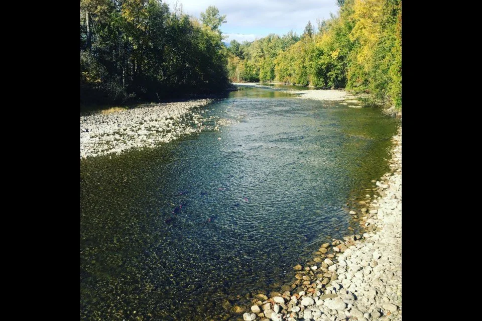
Provincial parks are often situated near major water courses and within important environs, such as the Lac du Bois grasslands near Kamloops. The location of provincial parks near to lakes, rivers, and creeks often corresponds with the presence of archaeological sites. In fact, shoreline surveys by foot and boat of the major water systems within the southern interior commissioned by the Heritage Conservation Branch (now called the Archaeology Branch) in the 1970s recorded hundreds of archaeological sites along the banks of lakes and rivers.
The shoreline surveys were undertaken before many of the provincial parks in the southern interior were established and served to provide an inventory of the diversity and distribution of archaeological sites. The archaeological sites identified during these surveys included rock art, burials, surface scatters of stone and bone artifacts, and round-, oval-, and rectangular-shaped depressions in the ground representing the remains of house pits, storage pits, and earth ovens.
Some of the archaeological sites identified during the shoreline surveys were eventually protected from development through the establishment of provincial parks. Provincial parks are an ideal way to preserve archaeological sites through the designation of green spaces and the ability to limit or avoid destruction of these sites compared to areas outside park boundaries.
Not all provincial parks containing archaeological sites acknowledge the archaeological and cultural history of the area. A local example of a provincial park incorporating archaeological features is Monck Park on Nicola Lake where large house pits are left undisturbed in a green space and marked with informational signage. Additionally, along the Adams River the 2018 name change from Roderick Haig-Brown Park to Tsútswecw Park, meaning “many rivers” in Secwepemc, is another local example of a BC Park acknowledging and incorporating local indigenous cultural heritage.
If you find yourself in a provincial park this summer following the guidelines by the BC government to stay local in 2020, take time to consider the vast history of the province long before Europeans arrived. Many campsites contain a rich and varied history just beneath the surface.